##نشرة الطقس الصادرة عن دائرة التقديرات في مصلحة الأرصاد الجوية في لبنان
**الخميس، 19 أيلول 2024**
**الحالة العامة:**
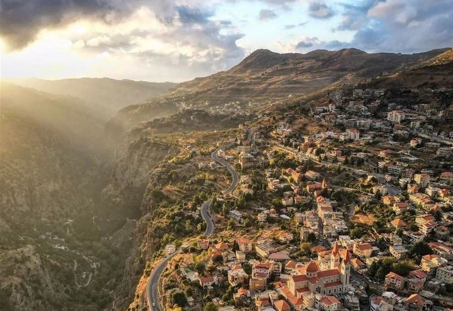
يؤثر طقس متقلب نسبياً على لبنان والحوض الشرقي للمتوسط، مع درجات حرارة دون معدلاتها الموسمية وأمطار متفرقة ومتقطعة، ترافقها رياح ناشطة. من المتوقع أن يتأثر لبنان اعتباراً من السبت بمنخفض جوي متوسط الفعالية، مركزه شمال غرب تركيا، مما يؤدي إلى استمرار الطقس المتقلب حتى الثلاثاء.
**تحذيرات:**
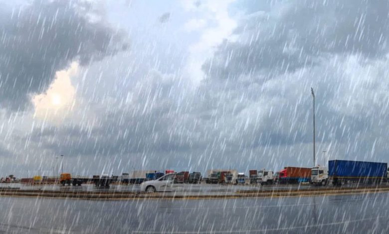
– **ارتفاع موج البحر:** قد يتخطى المتر ونصف المتر خاصة على الشواطئ الشمالية.
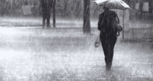
– **قيادة بحذر:** بسبب الضباب على الطرقات الجبلية وأثناء تساقط الأمطار.
**ملاحظة:**
معدل درجات الحرارة لشهر أيلول في بيروت يتراوح بين 24 و32، في طرابلس بين 22 و31، وفي زحلة بين 16 و32 درجة.
### الطقس المتوقع في لبنان:
– **الخميس:**
طقس غائم جزئياً مع ضباب على المرتفعات وارتفاع بسيط في درجات الحرارة، التي تبقى دون معدلاتها الموسمية. تنشط الرياح أحياناً، ويتحول الطقس بعد الظهر إلى غائم مع تساقط أمطار متفرقة، خاصة في المناطق الجنوبية، مع احتمال لتشكل خلايا رعدية منفردة.
– **الجمعة:**
طقس غائم جزئياً مع ضباب على المرتفعات واستقرار في درجات الحرارة فوق الجبال وعلى الساحل، مع انخفاض بسيط في الداخل. تتساقط أمطار خفيفة متفرقة خلال الفترة الصباحية، ويستقر الطقس تدريجياً خلال النهار.
– **السبت:**
غائم جزئياً إلى غائم أحياناً دون تعديل يذكر في درجات الحرارة بالمناطق الداخلية، بينما تنخفض قليلاً في المناطق الساحلية وفوق الجبال. يتكون الضباب على المرتفعات، وتبدأ الأمطار المتفرقة اعتباراً من بعد الظهر مع فرص لظهور خلايا رعدية.
– **الأحد:**
غائم جزئياً إلى غائم مع انخفاض في درجات الحرارة، وتكوين الضباب على المرتفعات، مع رياح ناشطة وأمطار متفرقة.
### درجات الحرارة المتوقعة:
| اليوم | صور | بيروت | طرابلس | بيصور | قرطبا | زحلة |
|———-|———|———|———|———|———|———|
| الخميس | 24/30 | 24/30 | 24/31 | 15/26 | 15/22 | 15/29 |
| الجمعة | 25/31 | 25/30 | 24/31 | 17/26 | 16/22 | 14/28 |
**الرياح السطحية:**
جنوبية غربية ناشطة، سرعتها بين 15 و35 كم/س، قد تشتد أحياناً شمال البلاد لتلامس 45 كم/س.
**الانقشاع:**
متوسط على الساحل، يسوء أحياناً على المرتفعات بسبب الضباب.
**الرطوبة النسبية على الساحل:**
بين 45 و75%.
**حال البحر:**
مائج إلى هائج، حيث قد يصل ارتفاع الموج إلى المتر ونصف المتر.
**حرارة سطح الماء:**
29°م.
**الضغط الجوي:**
1010 HPA (ما يعادل 758 ملم زئبق).
**ساعة شروق الشمس:**
06:24
**ساعة غروب الشمس:**
18:38
Weather Fluctuations and Sporadic Rain: Here’s the Upcoming Weather Forecast
### Weather Bulletin Issued by the Directorate of Civil Aviation in Lebanon
**Thursday, September 19, 2024**
**Bulletin: Morning**
**General Condition:**
A relatively unstable weather pattern is affecting Lebanon and the eastern Mediterranean basin, with temperatures below seasonal averages and scattered intermittent rain, accompanied by active winds. Lebanon is expected to be affected starting Saturday by a medium-strength low-pressure system centered northwest of Turkey, leading to continued unstable weather until Tuesday.
**Warnings:**
– **Wave Height:** May exceed one and a half meters, especially on northern beaches.
– **Caution While Driving:** Due to fog on mountainous roads and during rainfall.
**Note:**
The average temperatures for September in Beirut range between 24 and 32 degrees, in Tripoli between 22 and 31 degrees, and in Zahle between 16 and 32 degrees.
### Expected Weather in Lebanon:
– **Thursday:**
Partly cloudy with fog on the heights and a slight increase in temperatures, which remain below seasonal averages. Winds may be active at times, turning to cloudy in the afternoon with scattered rain, especially in southern areas, with a chance of isolated thunderstorm cells.
– **Friday:**
Partly cloudy with fog on the heights and stable temperatures above the mountains and along the coast, with a slight decrease inland. Light scattered rain may occur during the morning, gradually stabilizing during the day.
– **Saturday:**
Partly to mostly cloudy with no significant change in temperatures in inland areas, while a slight decrease is expected in coastal regions and above the mountains. Fog will form on the heights, with scattered rain starting in the afternoon and a chance of thunderstorms.
– **Sunday:**
Partly to mostly cloudy with a decrease in temperatures, fog formation on the heights, active winds at times, and scattered rain.
### Expected Temperatures:
| Day | Sour | Beirut | Tripoli | Bissour | Qartaba | Zahle |
|———-|———-|———-|———-|———–|———–|———|
| Thursday | 24/30 | 24/30 | 24/31 | 15/26 | 15/22 | 15/29 |
| Friday | 25/31 | 25/30 | 24/31 | 17/26 | 16/22 | 14/28 |
**Surface Winds:**
Southwest, active with speeds between 15 and 35 km/h, intensifying at times in the north, reaching up to 45 km/h.
**Visibility:**
Average along the coast, worsening at times on the heights due to fog.
**Relative Humidity on the Coast:**
Between 45% and 75%.
**Sea Condition:**
Generally rough to turbulent, with wave heights reaching one and a half meters.
**Sea Surface Temperature:**
29°C.
**Atmospheric Pressure:**
1010 HPA (equivalent to 758 mm of mercury).
**Sunrise:**
06:24
**Sunset:**
18:38